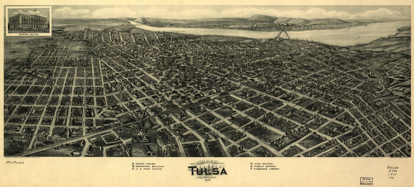
The hand-drawn map (not done to scale) comes from the Library of Congress’s panoramic maps collection. The full version can be downloaded or viewed here. Here’s some other historical maps from Oklahoma.
If you zoom in you’ll notice there’s a baseball stadium between Brady and Archer from Cincinnati to Detroit, a block west of the current ONEOk Field. The drawing could be a reference to Association Park, which was located between Archer and First from Elgin to Cincinnati according to a timeline of Tulsa’s baseball stadiums. Association park, however, closed in 1917.
Regardless of accuracy, the map provides a nice reminder of how much Tulsa has grown (or sprawled) in the last hundred years. Even by 1926, Tulsans considered the current fairgrounds, then a cow pasture, “so far out in the country.”